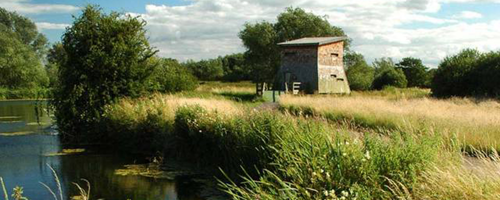
 Bird Hide, Watermead Country Park
Bird Hide, Watermead Country Park
Bird Hide, Watermead Country Park
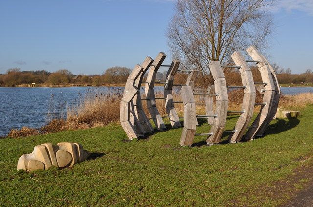 Rib Cage, Watermead Country Park - Ashley Dace
Distance: 5 miles (8km)
Time to complete: 2hrs
Difficulty: Moderate
Portages: 1
Weirs: 1 small metering weir.
Gauge readings: none close
Requires reasonable water levels
Start: Hope & Anchor
Map reference: SK609113
Post Code: Start LE7 1PD
Alternative start point:
Thurmaston Marina, Mill Lane
Map Ref: SK609097
Post Code: LE4 8AF

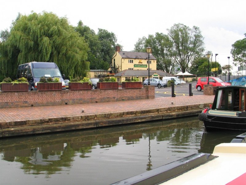 Hope & Anchor - George's Pub Guide
Starting from the Hope and Anchor pub by the canal in Syston, this trip takes you around the perimeter of Watermead Country Park North and out to Cossington using both the Grand Union canal and backwaters of the River Soar. Parking at the pub is by arrangement and in return for your custom.
Parking is also available inside Watermead Park with a short portage from the North of John Merrick Lake to the canal towpath. An alternative start point at Thurmaston Marina has a free car park and requires the paddler to head north for 800m and join the loop at the portage from the canal to the river at Johnson's Bridge (No.17). Set off from the Hope and Anchor, back towards Leicester under the bridge next to the pub.
Watermead Country Park is on your right beyond the towpath. The park has two sections, both created from the spent gravel pits that are a feature of the Soar valley. This section (north) belongs to Leicestershire County Council and extends to the boundary of Birstall in the south. The other section of the Country Park is on the opposite riverbank, starting at Birstall and extending south to the edge of Leicester City. The south section was created by the City Council.
Both parks have lots to interest visitors and are a haven for wildlife close to urban development.
600m from the start just behind the towpath is a toilet block in the park. These are the only public facilities on the trip. Continue down the canal past the remains of conveyor belt bridge pillars from when it was an active quarry. After Johnson's Bridge portage on the right bank just before the side weir with a footbridge over it. Please take care, as this is a popular route with walkers and cyclists. Relaunch below the weir either side of the tree on the corner.
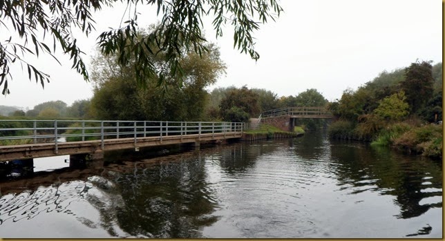 Side Weir & Johnson's Bridge - Geoff & Mags NB Seyella
This section is the original course of the River Soar and is indicative of the river's natural size before it was remodelled for navigation. An assessment of river level needs to be made here. The river meanders through overhanging trees and can be challenging, a lopping saw is a useful tool on this trip. If the water is high on the weir and pushing hard around the first bend a decision to come back at a different time may be a good call. You could always enjoy the Country Park on foot. Similarly, if the water is low and there is a sand beach on the corner it will probably be too low to paddle, this is typical in summer conditions. The river meanders along the boundary of Watermead Park.
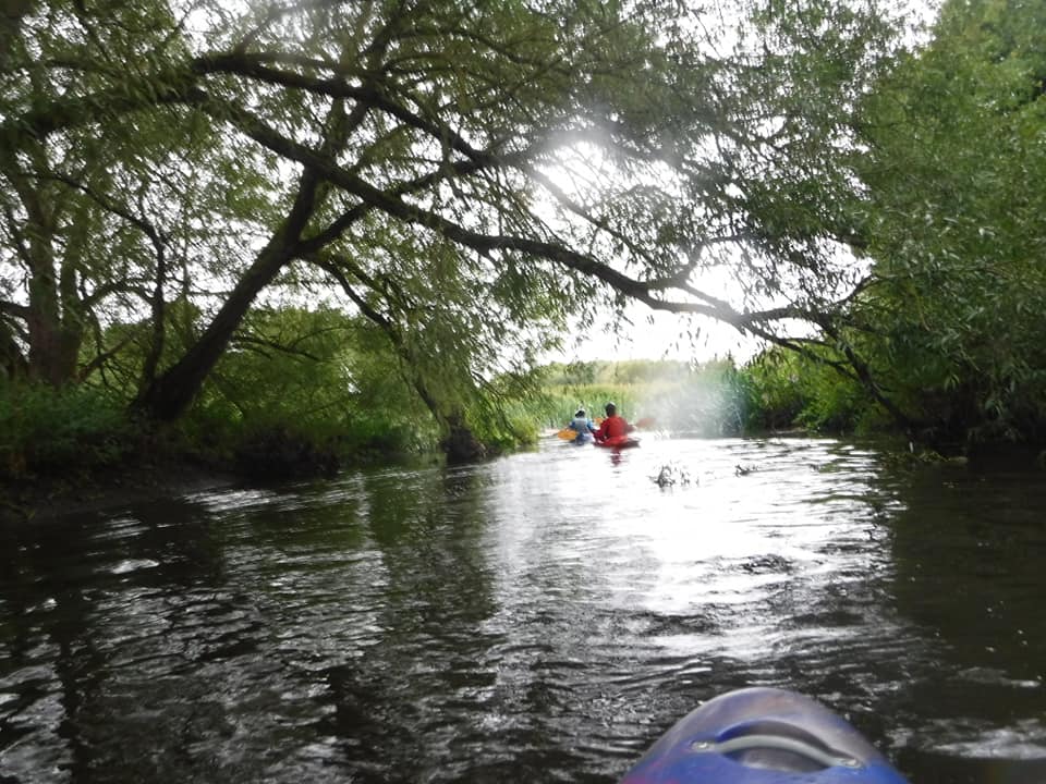 Wanlip backwater - Neil Smith
A smart laminated wood footbridge brings a footpath into the park over the river. This is 1.2 miles from the journeys start. The narrow willow lined channel continues past a large bird watching hide on the right and arrives at Wanlip metering weir where you should pass between the two concrete walls in the centre of the flow. Below the weir there are large gardens to the left and some fallen trees to negotiate. The A46 Western Bypass bridge is a noisy interruption to an otherwise rural paddle.
 Bottom of Junction Weir - Andy Oughton
Beyond the bridge, the river continues to wind between gravel pit lakes on the right (used for sailing) and Leicester’s main sewerage works on the left bank, including a recently added large wind turbine. On the final bend as the river leaves the sewage works is an ornate Victorian brick built chamber. This was the outflow from the City’s previous sewage works at Beaumont Leys that, in turn, was supplied by the four beam engines at Abbey Pumping Station, close to the Space Centre. This stretch of river is often thick with reeds and riverweed from the additional warmth and nutrients in the water. Half a mile from here the river crosses the canal and goes under a footbridge at the top of Cossington Weir. To continue the journey turn right into the canal.
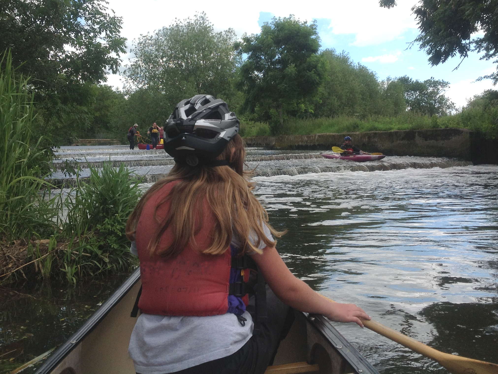
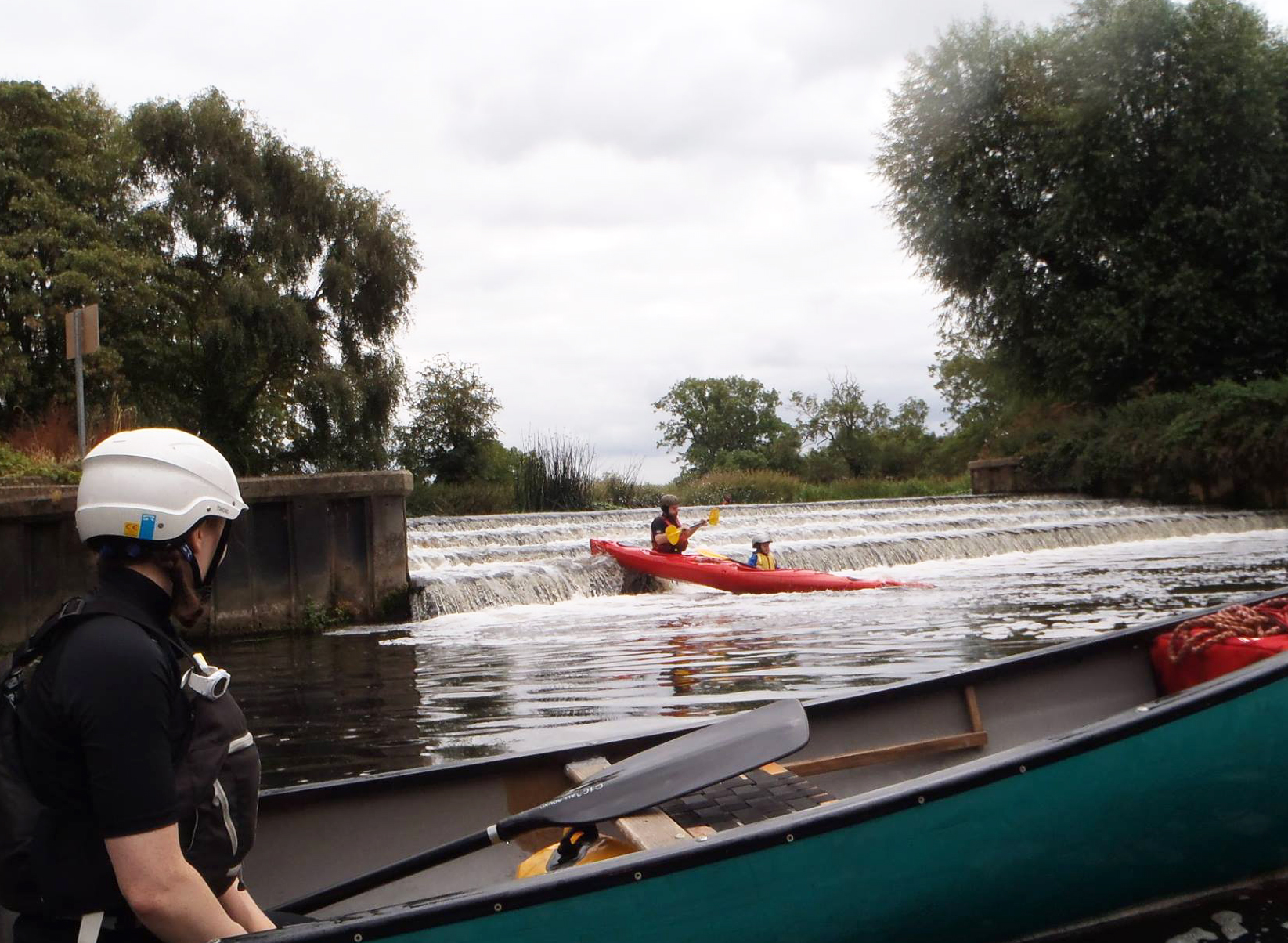 Cossington Weir - Mark Dawson
Cossington Weir can provide entertainment for those minded to shoot the steps. If you have been able to paddle the backwater the weir level will be ok to shoot. Inspect from the island between the lock and the weir. Best run to the centre but check for debris. If you shoot the weir you will need to portage back up to the canal to continue your journey back to the start. Above the lock and just past the weir arm the canal is to the left. Some maps still show a small bridge not far into this 'cut' but the Bailey bridge that was there has been dismantled and sections can be seen in the field to the left and right. Approaching junction lock a backwater enters from the right carrying the flow from the River Wreake. Portage the lock on the right hand bank on a platform by the large willow tree and put in above the top lock. Paddle past the weir on the right and continue to the junction of the river Wreake at three ways bridge. A small marina follows before a traditional canal bridge and a length of canal under another A46 bridge that leads back to the start point and a well-earned drink.
We'd love to hear from you if you have done this paddle,
spotted a correction or just want to say hello!
© Copyright Andy Oughton, Soarpaddler 2015